
This webpage is for archival purposes only. It is no longer being maintained. Please see our new website at http://lib.berkeley.edu/EART
 |
 |
 |
 |


General | Topographic | Nautical | Transportation | Thematic | Facsimile | Air Photos
The following pages provide information about some of the major categories of cartographic materials in the Earth Sciences and Map Library's collection. Some sample, thumbnail images are provided as examples of the different types of maps the library collects. (If you're looking for full-sized, digital maps, you can Browse Our Digital Map Collection via OskiCat, the Library's Web catalog, to find out what's available in the library and online.)
General Maps
 |  |
General maps are available for all geographic regions and show a variety of both physical and cultural features. Included are world maps; maps covering individual countries, states, counties, cities, and other administrative units; and maps showing natural areas, such as parks, forests and wilderness areas.
Topographic Maps
 |  |
Topographic map sets form the core of our collection. Sets cover all countries of the world at various scales and for various time periods.
Nautical Charts
 |  |
Nautical charts are produced for their marine navigational information; however, they contain a wealth of physical, cultural, and historical information, which is often used for other purposes.
Transportation and Communication Maps
 |
Transportation and communication maps emphasize cultural features such as roads, highways, railroads, buslines, subway routes and stations, shipping and airline routes, harbor and port facilities, electric transmissions, telephone lines, and other regional and urban infrastructures.
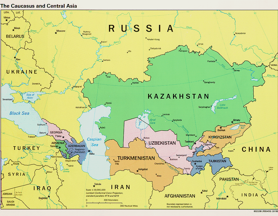
Thematic Maps
 |  |
Thematic maps are collected for numerous subject areas and can include either cultural or physical information and data. Some examples of the kinds of subjects and information you can find on thematic maps are the following: geology, seismology, demography, income, education, employment, agriculture, soils, distribution of animals and plants, climate, floods, natural hazards, fire insurance, historic events, etc.
Facsimile Maps / Reproductions
 |  |
Facsimile maps are reproductions of old maps, often in full color. Many are issued in books and atlases dealing with the history of cartography. Others are issued as flat map sheets. Reproductions are usually black-and-white photostats, microfiche or microfilm.
Aerial Photography
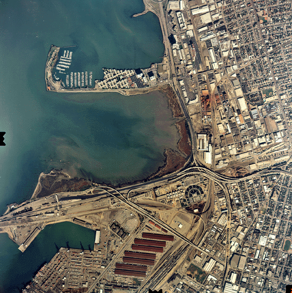 | 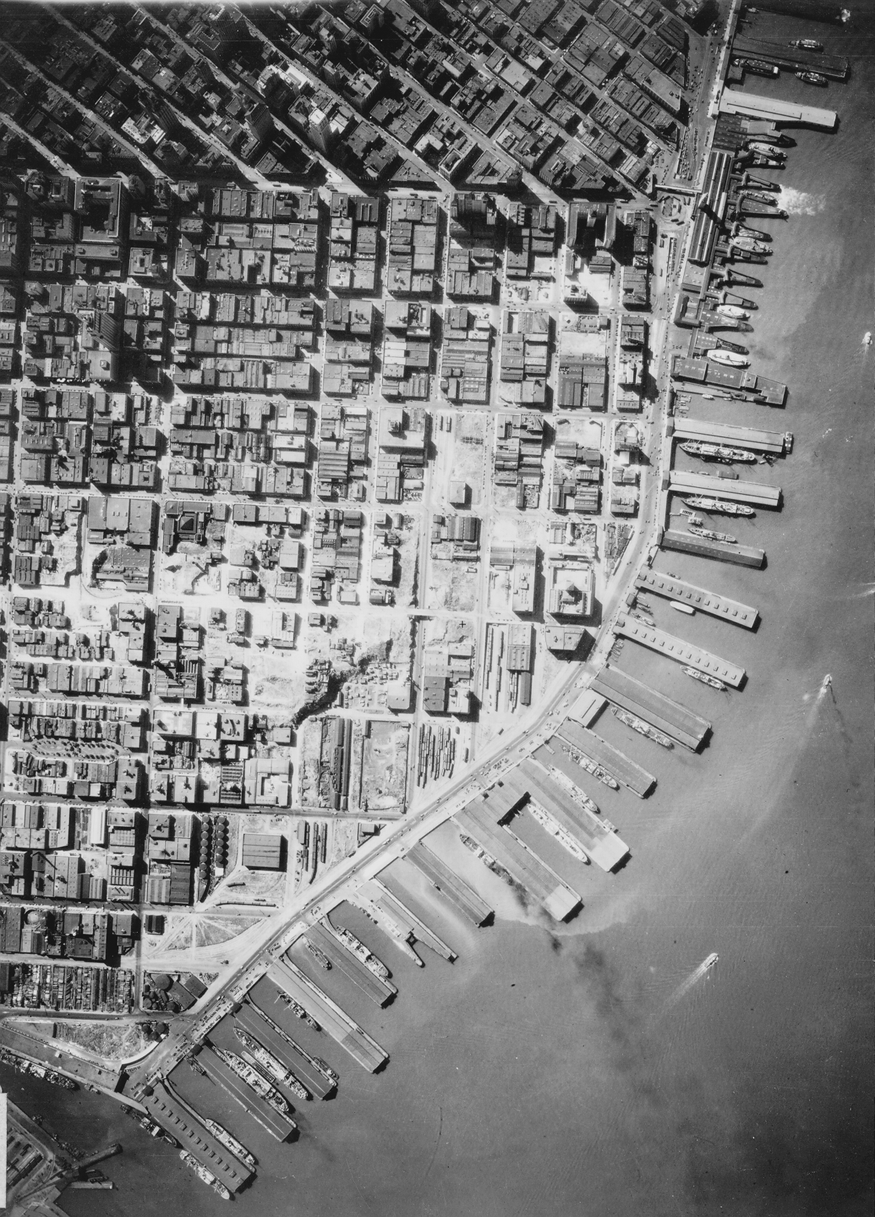 |
Aerial photography is collected primarily for the San Francisco Bay Area, northern California, and major cities. It is used extensively for both regional and urban studies.
![[ HELP/FAQ ]](/Images/helpgr.gif)
![[ CATALOGS ]](/Images/catalogsgr.gif)
![[ COMMENTS ]](/Images/commentsgr.gif)
![[ HOME ]](/Images/homegr.gif)