
This webpage is for archival purposes only. It is no longer being maintained. Please see our new website at http://lib.berkeley.edu/EART
 |
 |
 |
 |


Road Maps
Other Transportation and Communication Maps
Road Maps
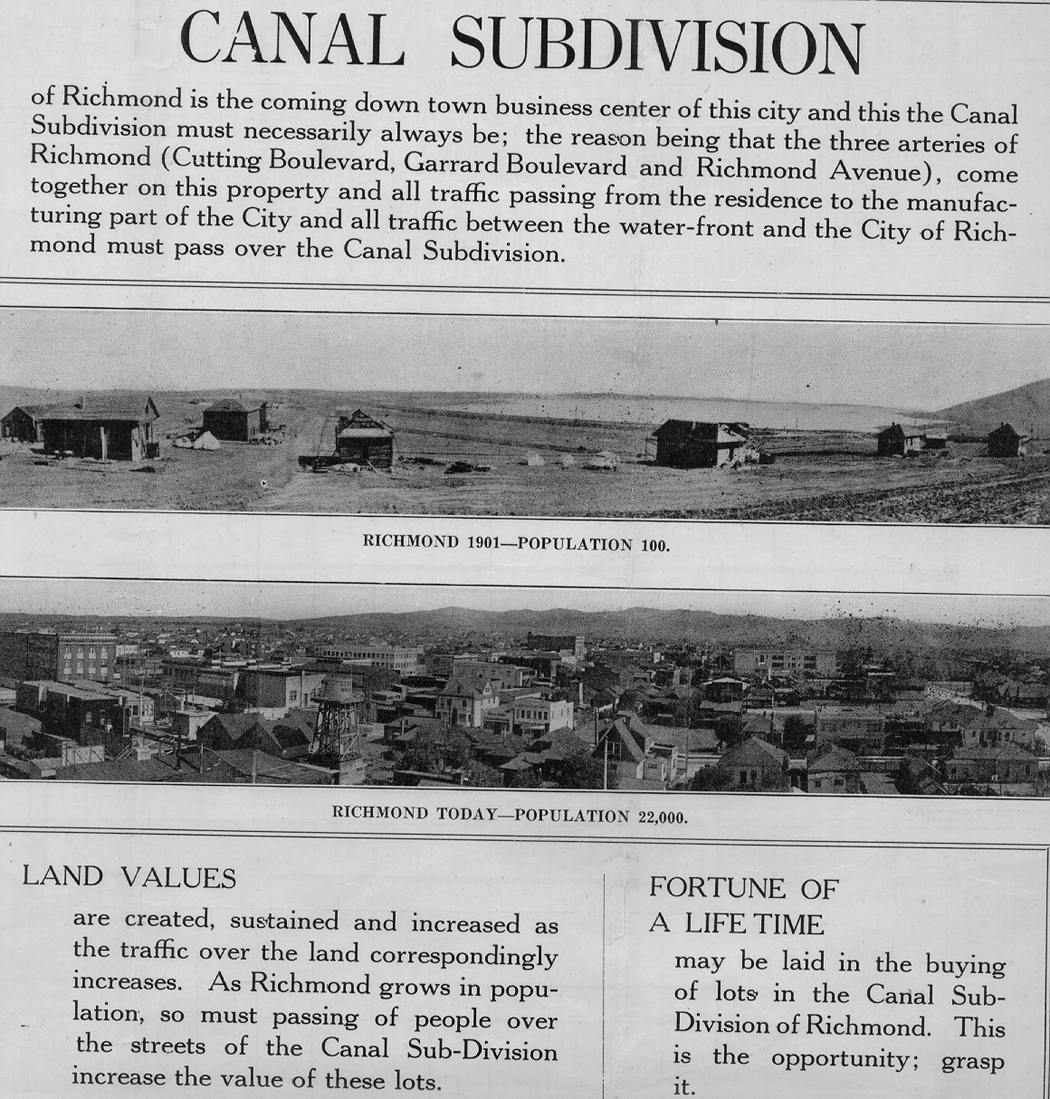
Road and city maps are not only useful when taking a car trip, but can provide useful historic information on the development of the federal, state, and county highway and road systems. They also portray how the transportation network influences the development of populated areas and the spread of urban areas. The collection contains many general road maps, as well as maps showing specific transportation projects. Road maps are also of interest for their marginal information and often have text, tables, illustrations or photographs dealing with business growth, population trends, and real estate development. For example, a 1930 road map of Richmond, California shows land promotion.
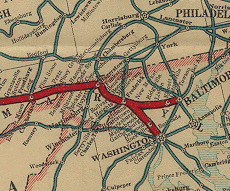
Map of the Pioneer Way: Oregon Trail, Olympia to Kansas City;
National Old Trails Road, Kansas City to Washington, D.C, 1916
(Call No. G3701.P2 1916 .N36 Case D)
Other Transportation and Communication Maps
RAILROAD MAPS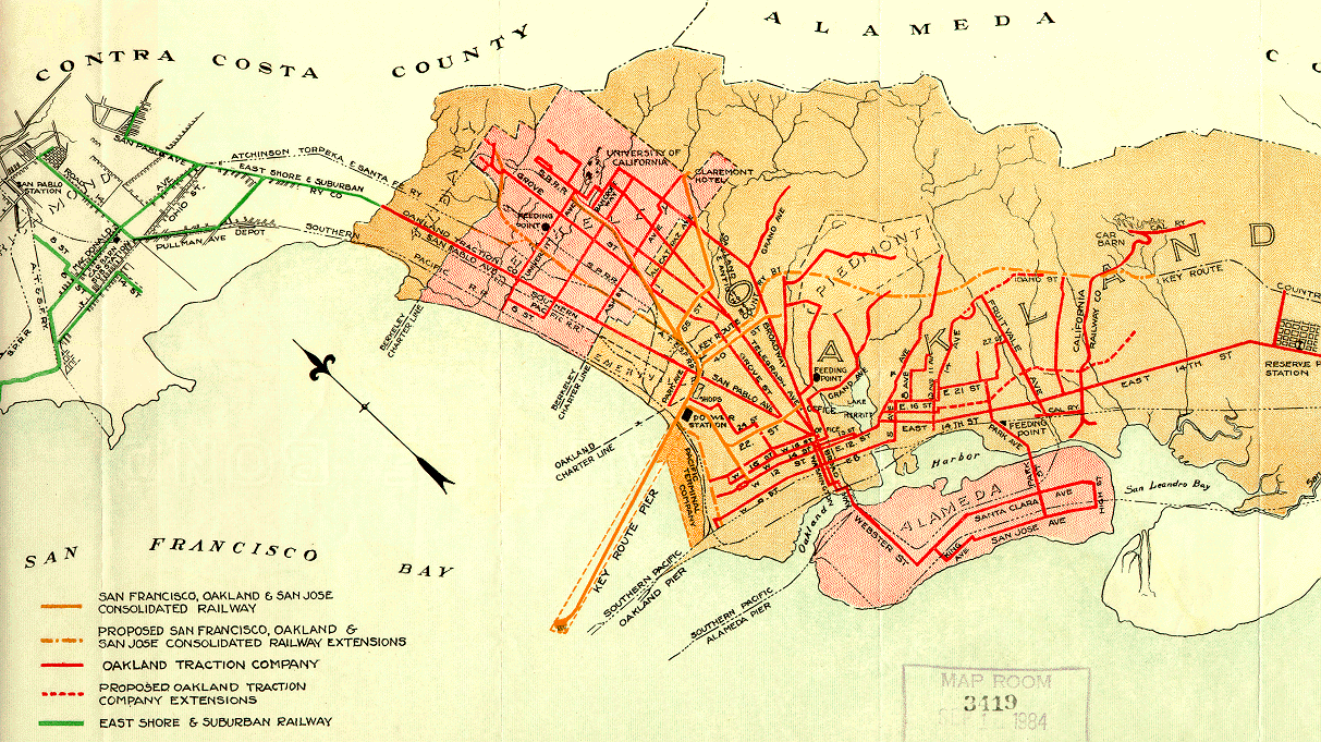 Map of the East Bay, showing routes of the Key System, 1911 (Call No. G4364.O2P3 1911 .S3 Case D) |
MATERIAL TRANSPORT MAPS Total Interstate Energy Movement: 1974 U.S. Geological Survey (Call No. G3701.N3 1974 .U51 Case D) |
 Return to Digital Tour of the Library's Map Collection
![[ HELP/FAQ ]](/Images/helpgr.gif)
![[ CATALOGS ]](/Images/catalogsgr.gif)
![[ COMMENTS ]](/Images/commentsgr.gif)
![[ HOME ]](/Images/homegr.gif)