
This webpage is for archival purposes only. It is no longer being maintained. Please see our new website at http://lib.berkeley.edu/EART
 |
 |
 |
 |


Sample Images
Aerial Photography and Satellite Imagery Collection (General Information)
Catalog of Aerial Photography
Online Aerial Photographs
Sample Images
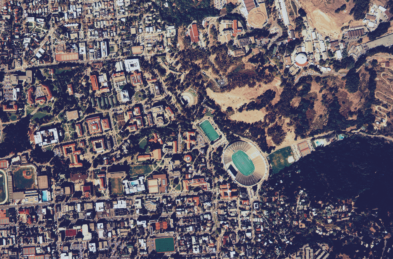
University of California, Berkeley campus and surrounding city area.
Natural color aerial photography.
(1994 Campus Aerial Survey is also available)
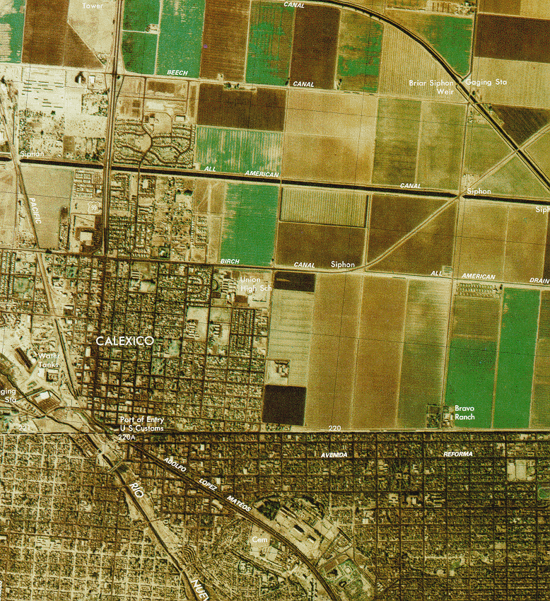
Color orthophoto quadrangle of the U.S.-Mexican border around the town of Calexico.
The USGS produces complete coverage of the entire border area.
Notice the distinctive land use patterns between the two countries.
(Call No. G3701.F2 s25 .U51 no.11 Case B)

SPOT satellite image of San Francisco and the East Bay.
(Call No. G4362.S22A4 1986 .S6 Case D)
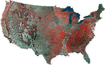
Advanced Very High Resolution Radiometer (AVHRR) images,
such as the one above, are available for selected areas.
 Return to Digital Tour of the Library's Map Collection
![[ HELP/FAQ ]](/Images/helpgr.gif)
![[ CATALOGS ]](/Images/catalogsgr.gif)
![[ COMMENTS ]](/Images/commentsgr.gif)
![[ HOME ]](/Images/homegr.gif)