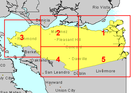
Flown by Aero Exploration Co., 1950 Scale 1:20,000
Click on numbered areas to see flight line indexes.
Call number: AIR PHOTO BUU View Catalog Record
Return to Earth Sciences & Map Library's Home Page

 Return to Earth Sciences & Map Library's Home Page
![[ HELP/FAQ ]](/Images/helpwh.gif)
![[ CATALOGS ]](/Images/catalogswh.gif)
![[ COMMENTS ]](/Images/commentswh.gif)
![[ HOME ]](/Images/homewh.gif)