
AIR PHOTO 24
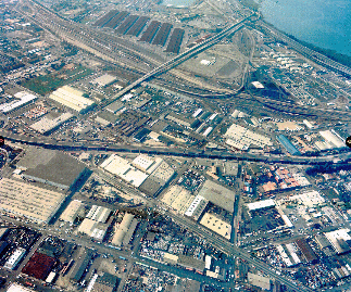
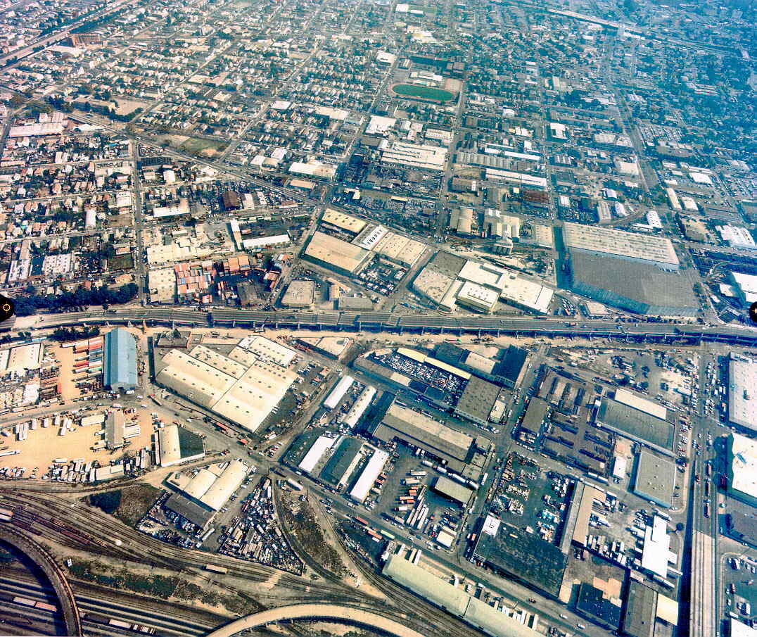
Aerial photographs of the damaged Cypress Structure
Nimitz Freeway, Oakland, Calif.

Click on photos to view JPEG images (200 Kb)
View Towards West
View Towards East

![[ HELP/SEARCH ]](http://www.lib.berkeley.edu/Images/help.gif)
![[ CATALOGS ]](http://www.lib.berkeley.edu/Images/catalogs.gif)
![[ COMMENTS ]](http://www.lib.berkeley.edu/Images/comments.gif)
![[ HOME ]](http://www.lib.berkeley.edu/Images/home.gif)
Copyright © 1996-2003 The Regents of the University of California.
All rights reserved.
Document maintained on server by: Earth Sciences & Map Library
Last updated 7/18/03.

 Return to Online Flight Index
 Return
to Earth Sciences & Map Library's Home Page
Return
to Earth Sciences & Map Library's Home Page