
Berkeley, Oakland, Alameda Air Photos 1939
U.S. Agricultural Adjustment Administration
Complete county coverage available as contact prints in Library
Alameda, Contra Costa, Santa Clara, Solano Cos.
Click on Index map to view enlargements
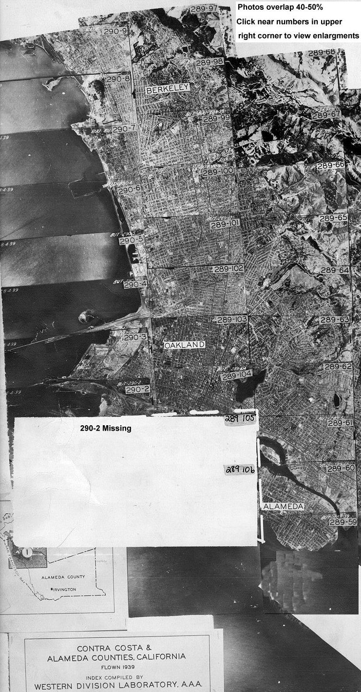
Call number: Air Photo 28
![[ HELP/FAQ ]](http://www.lib.berkeley.edu/Images/helpwh.gif)
![[ CATALOGS ]](http://www.lib.berkeley.edu/Images/catalogswh.gif)
![[ COMMENTS ]](http://www.lib.berkeley.edu/Images/commentswh.gif)
![[ HOME ]](http://www.lib.berkeley.edu/Images/homewh.gif)
Copyright © 1996-2003 The Regents of the University of California.
All rights reserved.
Document maintained on server by: Earth Sciences & Map Library
Last updated 7/18/03.
 Return to Online Flight Index
 Return to Earth Sciences & Map Library's Home Page